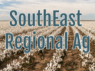
SE Ag Climate Update
Farmers throughout the southeast are constantly looking at forecasts during tropical weather seasons, but they are advised to double and triple-check the short-term outlooks for the next few weeks.
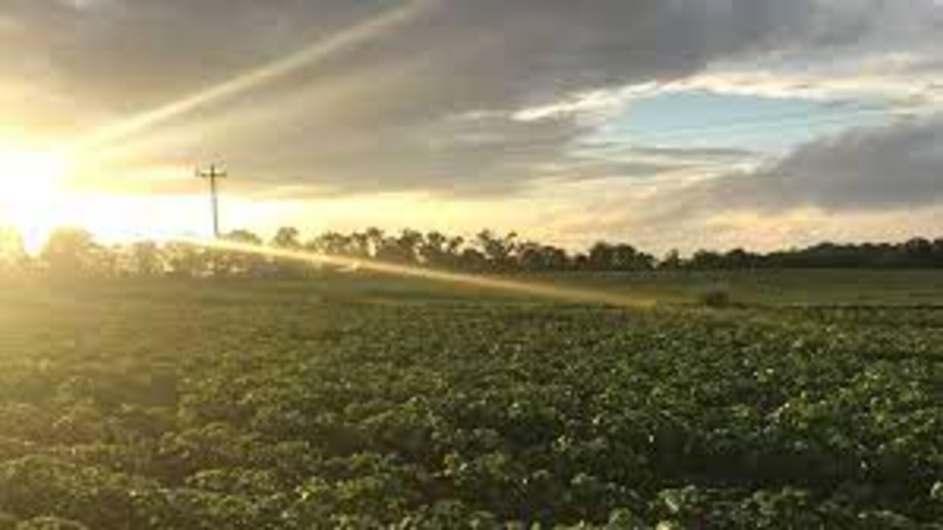
Pam Knox, Agricultural Climatologist and Director of the University of Georgia Weather Network says the continual wet weather that has marked the summer growing season will continue through the next few weeks.
That may mean fewer days where farmers can get in the fields.
Knox: “Farmers will really have to watch for dry periods. In this kind of situation, we get a lot of pop-up storms. It’s hard to find a two-day period where it’s dry. Farmers are really going to have to stay right on top of this to know when these dry periods are coming so that they can take advantage of those for harvest. They’ll also have to continue to watch for tropical storms. You’re not going to want to leave your ready-for-harvest crops in the field for a long time because some of these storms really spin up quickly. So that all has to factor in as well.”
The storms Fred, Ida, and Mindy caused a limited direct impact on crops around the southeast. But the rainfall contributed to disease pressure and slowed growth.
Ida did impact infrastructure and transportation which in turn affects agricultural sales.
The spring frost is considered to be responsible for a smaller yield for apples, pecans, and muscadine grapes.
Much of the corn is already harvested, cotton bolls are opening, peanuts are beginning to be harvested and some folks are getting ready to plant cool-weather crops. And some pastures are on the verge of being planted for winter forage.