Ceres Imaging Plant Level Insights Pt 2
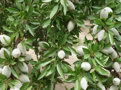
I’m Bob Larson. Aerial imaging, capturing plant by plant or tree by tree level data, and making it available overnight, is the newest high-tech method growers can use to manage their crops.
Ceres Imaging Agronomy Lead Jeff Divan says through an easy-to-read mobile app, their fly overs give farmers the when, where and how much irrigation info they need to boost profitability …
DIVAN … “Any time you see a given row or something that’s very square, straight-edged in terms of a stress pattern. It’s very, very high likelihood that that is some kind of mechanical failure.”
And, Divan says it’s very handy and easy to use …
DIVAN … “Yeah, definitely, accessible on any mobile device, iPad, if you’re out in the field, very handy to just be able to pull up that information and reference it as you’re standing in a given spot in the orchard or wherever it may be.”
The info, Divan says comes in both images and numerical data …
DIVAN … “Now at this level of digitizing the data, seeing actual numerical quantities and percentages of stress. So, you know, kind taking it one step further, not requiring someone to make an adjustment of their own, but just kind of give them the facts there right on the front side of it and lets them make a decision and assessment of, maybe, a field or a block that’s performing better than another. They don’t have to sift and sort through and be an imagery expert. The numbers are just right there at the surface.”
Tune in tomorrow for more on Ceres Imaging, tailor made for your orchard irrigation needs.