Latest Line on Agriculture Reports


Comments
Latest Reports

Supply and Demand of Pulses
Wed Apr 1
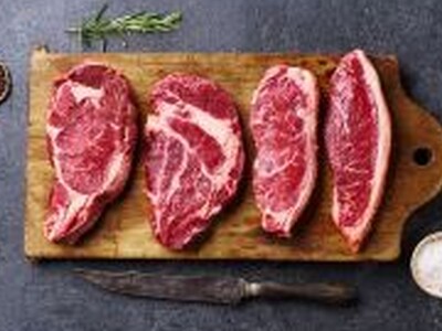
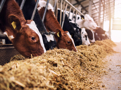
A Global Story Behind Every Burger
Wed Apr 1


Keep Almond Production Simple
Wed Apr 1

Washington Ag Wage Crisis
Wed Apr 1

H-2A Challenges and Housing
Wed Apr 1

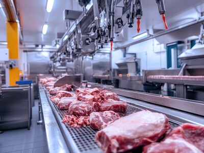
Product of USA
Wed Apr 1