The Limitations of Satellite Imagery

Tim Hammerich
News Reporter
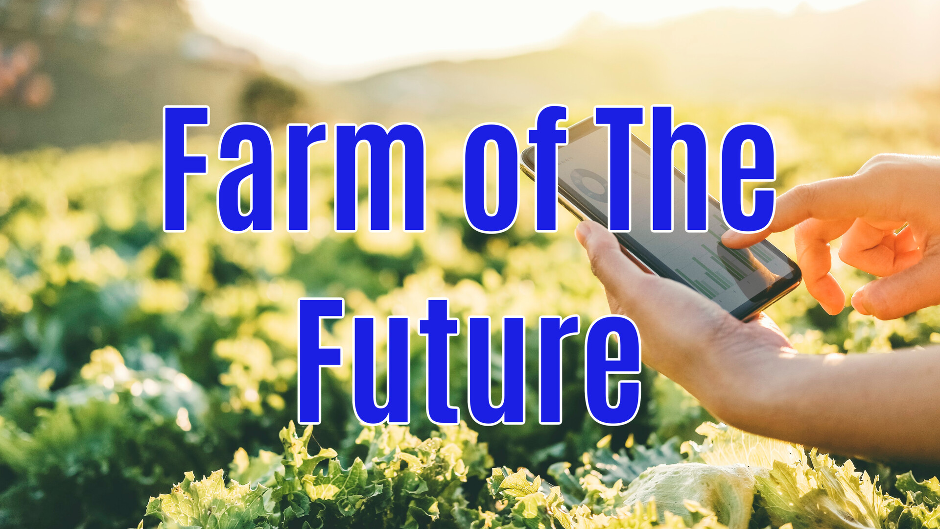
Measuring water usage in agriculture is what Tule Technologies is all about. Using agronomic expertise and artificial intelligence, the team at Tule is supporting growers by answering their questions about the relationship between irrigation, wind patterns, and production goals.
Shapland… “With satellite imagery approaches, people are taking pictures of the surface of the planet and they’re trying to use those images to figure out how much water the crop field is using. The problem with this is that you can’t from space, know what the wind conditions are like.”
That’s Tule co-founder and CEO Tom Shapland, who says there is no substitute for on the ground evapotranspiration sensors.
Shapland… “That’s the shortcoming of all these satellite-based methods. Satellite-based methods have a place because they can see over such big scales. They just need to be calibrated with on-the-ground evapotranspiration sensors, and there’s really only one that’s commercially available and that’s the Tule Evapotranspiration Sensor.”
The sensor developed by Tule can cover multiple acres at a time.
Shapland… “Our senors measure an area between an acre and 10 acres depending on basically the crop type that we’re putting. The taller the crop canopy, the broader the area that we can see.”
Tule Technologies was recently acquired by CropX Technologies, a company that offers additional insights and advice on irrigation, disease control, nutrient management, and more.