Weather Outlook Pt 1
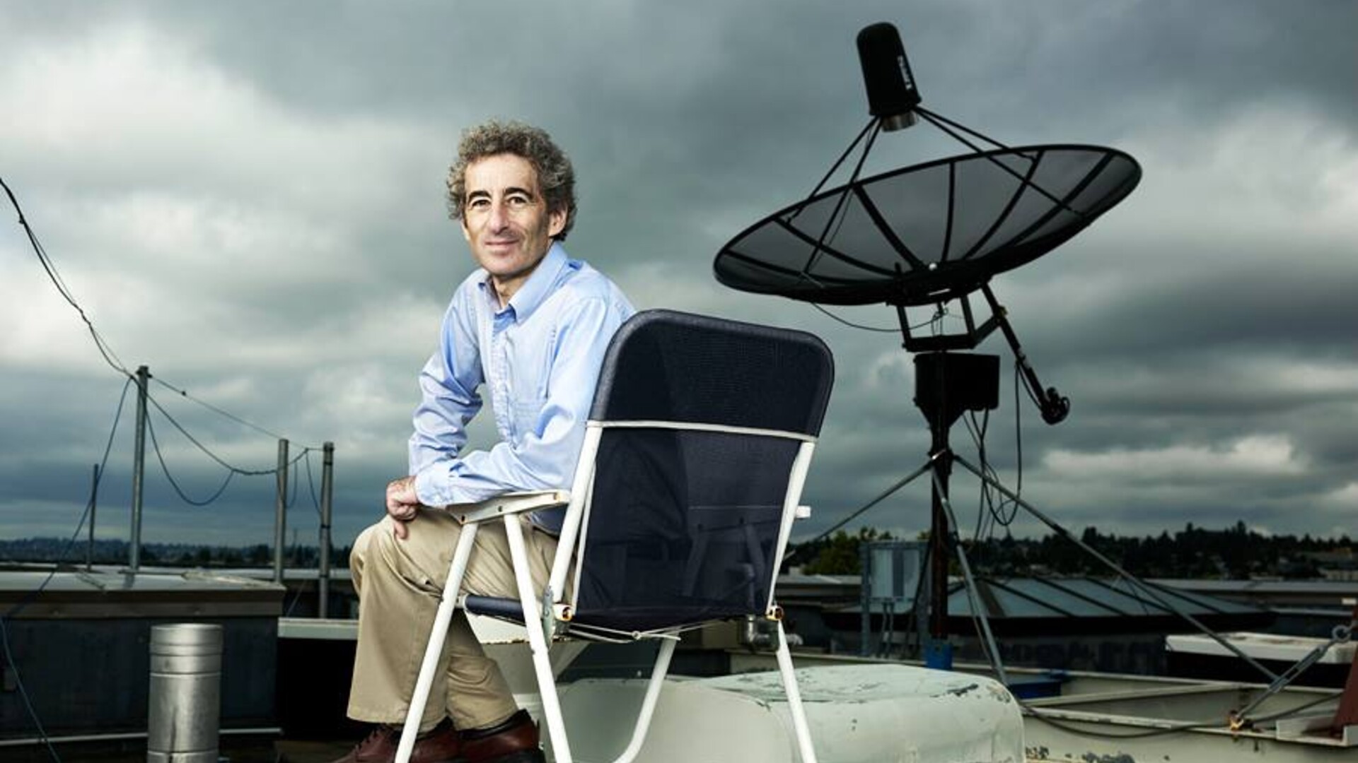
From the Ag Information Network, I’m Bob Larson with today’s Fruit Grower Report. If you’re familiar with our 12-month calendar, you know that August is right around the corner from the fall when temps begin to cool heading into winter.But, University of Washington atmospheric sciences professor, Cliff Mass says the near-term might not be as cool as you’d think …
MASS … “The extended forecast models, right now, that go out until mid-September, they’re suggesting that the period as a whole will be drier than normal in the West, about normal in Eastern Washington, okay, precipitation. Temperature-wise, though, overall, would be, particularly in Eastern Washington, will be warmer than normal.”
Beyond that, Mass says the weather may be similar to the past couple of years …
MASS … “Then if you go further into the Winter, then we have La Nina. And it looks like there will be a La Nina in place for Fall and early Winter. That looks pretty solid at this point. So, that’s pretty certain that we’re going to be in a La Nina situation, at least the first part of the Winter.”
And since trends are the biggest indicator of climate change …
MASS … “That’s the trend. And, the biggest trend is in minimum temperatures rather than maximum temperatures.
Minimum temperatures are going up more quickly than maximum temperatures. So, we are slowly warming up, but on the high end, nothing that we’re seeing is, except for last year, is unprecedented or that unusual really.”
Tune in tomorrow for more on this year’s weather and what to expect in the months ahead.
