

Latest Idaho Ag Today Reports

Comments
Latest Reports

In The Age Of AI, Real Life Experience Wins
Tue Jun 23
Next Year's Cherries Start Now
Tue Jun 23


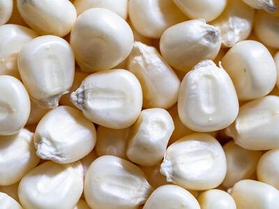
Premium Grains Require More Work
Mon Jun 22

AFBF Pushes for USMCA
Mon Jun 22
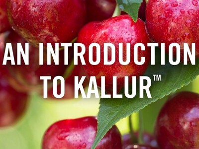
Cultiva and Kallur
Tue Jun 23
Japanese beetles in Rupert
Tue Jun 23
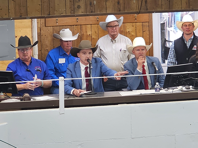
Prime Beef Production Keeps Climbing
Tue Jun 23