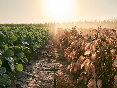
Aerial Surveys Go High Tech
My sister is a professional photographer, and a darn good one at that. She would be the first to tell you that the photography business is exciting, rewarding, and ever changing. The days of pulling out the old point and shoot film cameras are long past. Today everything is digital, which means with digital photography you can have the satisfaction of seeing your pictures instantly. This type of technology in photography doesn’t just lend itself to great wedding photos, it’s also being put to work for agricultural research. Rangeland scientist, Dr. Terry Booth, has developed a type of aerial survey utilizing advanced digital cameras in order to observe vegetation varieties, insect invasion, and pesticide performance. Routine aerial surveys have been around for a long time, but with the aid of digital cameras and the instant data they provide surveys such as these can be used for early detection of invasive species that are threatening native plant life. Another advantage to using digital cameras for aerial surveys is the frequency with which monitoring can be done, giving scientists and growers the advantage when it comes to managing range and farmland.