Mount Hood Fault and Irene's Impact On Agriculture
Mount Hood Fault and Irene’s Impact On Agriculture. I’m Greg Martin with today’s Northwest Report.
Geologists have detected a fault zone that stretches about 20 miles from the northern flank of Mt. Hood to the Columbia River. It has gone unnoticed due to being hidden by vegetation and it could prove to be dangerous. The active fault was recently discovered using aircraft equipped with LIDAR - a high-tech laser scanning mapping system. Teams are preparing to dig a big trench in the next few weeks across the faults to try and determine when the last earthquake occurred.
And while an earthquake does major damage to structures it would have little effect on the land around it whereas the recent hurricane on the east coast will have a major impact on ag production in that area. Meteorologist Brad Rippey says everything from transporting of ag products to flooding and debris are making it hard on agriculture. A number of crops were impacted including tobacco and corn.
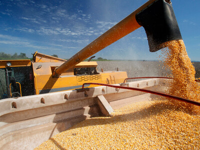
RIPPEY: From roughly Virginia northward the corn wasn’t quite far enough along to harvest before Irene hit and certainly we’ve heard reports of flattened acreage of corn and we’ll just have to see since that corn is now lodged how it’s going to turn out.
Now here’s today’s Washington Grange report.
(Grange)
That’s today’s Northwest Report. I’m Greg Martin on the Ag Information Network.
