Notice: Undefined offset: 27 in /home/aevsb9u4ykmi/public_html/report.php on line 332
Notice: Undefined offset: 27 in /home/aevsb9u4ykmi/public_html/report.php on line 372


Comments
Latest Reports

Spatial Variability
Tue May 7

Good Trade, Fair Trade, and More of It
Tue May 7


Ag World Golf Classic 2024 Pt 2
Tue May 7
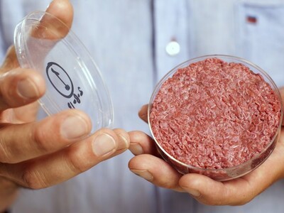
Florida Bans Lab-Grown Meat
Tue May 7

Lost Farm-Lost Quality Pt 1
Tue May 7

Cow cuddling
Tue May 7

Florida Out of Lab-Grown Meat Business
Tue May 7