Notice: Undefined offset: 27 in /home/aevsb9u4ykmi/public_html/report.php on line 332
Notice: Undefined offset: 27 in /home/aevsb9u4ykmi/public_html/report.php on line 372


Comments
Latest Reports

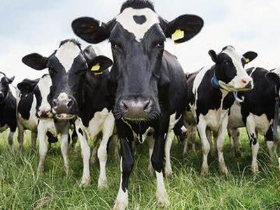
Keep Drinking Milk
Wed Apr 24

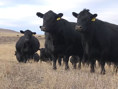
Beef Myth Busting Pt 2
Wed Apr 24

Climate Smart Specialty Crops Pt 2
Wed Apr 24

Teaching kids about Ag
Wed Apr 24